Great Glen Way Day 2.
Distance today: 25 miles.
Total distance: 217.2 miles.
Accommodation: hostel.
One way or another, today turned out to be a fairly memorable day.
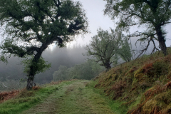
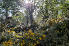
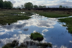
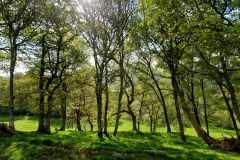
As someone who is not generally a morning person, I seem to have been converted on this trek. Hitting the road by 7.00 is particularly rewarding when the weather’s being kind. It’s not just a chance to notch up some early miles, it’s the light and the stillness. Today the mist was hovering just above the ground but the sun was slowing breaking through, back-lighting the dew-heavy cobwebs which clung to the gorse bushes. It was incredibly beautiful and it felt very humbling to be able to experience it.
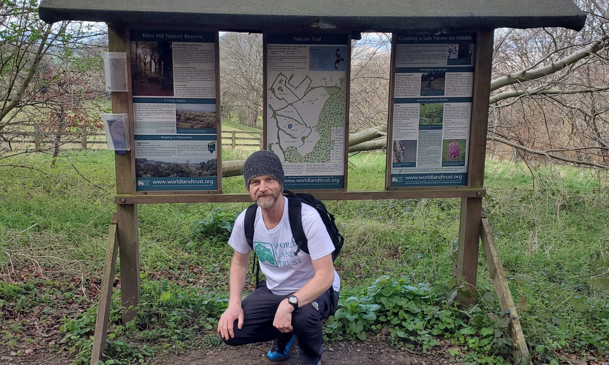
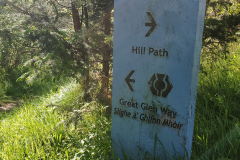
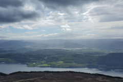
So far so good. At around 9.00 I saw a sign that indicated “Hill Path” one way and “Great Glen Way” the other. I knew from the map that there were sections before and after Invermoriston that allowed you to take either a low route or a high route. I assumed the Hill Path was the high route. I assumed wrong. It wasn’t long after I decided to follow it that I got a bit suspicious it wasn’t the right way. It seemed to be heading at 90 degrees to the loch rather than as the map suggested, angling slightly away from the loch to gain altitude. The fact that there were plenty of boot prints in the peaty mud was enough to convince me to carry on to see where it led. And when it did eventually start to run parallel with the loch, I thought it probably was the right way. Just a bad map. But I still wasn’t seeing any reassuring waymarkers and as the route continued to climb and climb, I decided it probably wasn’t the right way. At this point I figured I’d either have to retrace all my steps or carry on and hope there was onward trail. Let’s carry on then. Why not? What can go wrong? Underfoot the ground was really boggy and this together with the lack of waymarkers, the continual ascent, and anger at my own incompetence brought on some biblical swearing. I finally got to the point where I couldn’t go any higher. I had unwittingly scaled Meall Fuar-mhonaidh. “Follow the sign to Hill Path“. Indeed. It was just a hill but more frustratingly, now that I had worked out where I was on the map, I could confirm there was no onward trail. Oh dear, that’s a shame. Or words to that effect.
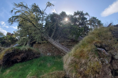
With the loch (and the rest of the 360 degree panorama) clearly visible I decided my best bet was to make a beeline for the loch and hope I’d bump into the proper trail along the way. The first obstacle was a stupidly steep slope. With the aid of my poles I very gingerly made my way down, thinking this was almost certainly going to end in tears. Balance is definitely trickier when you are carrying a full pack. Thankfully I made it down with just a couple of slips here and there. It probably hadn’t been the most sensible decision I’ve ever made. Next was some boggy flat land which I thought would be easier but I still nearly managed to inflict a trip-ending ankle injury when my pole got stuck as I was attempting to jump across a stream. I escaped with a bruised toe and a wet leg. Finally there was a fenced off forest with not a human-friendly gate in sight. At roughly 6 foot high I think the wire fence was designed to stop deer getting in (or out). I found one section which looked like it had been reinforced and I argued that maybe that was to allow people to climb over more easily. Strangely, the forest looked just as impenetrable once I was on the other side. The trees were equipped with those low-level branches which looked almost dead but were still effective at blocking your path. I tried looking for any open spaces or watercourses. Nothing. After a bit of trial and error, I found that the best tactic was to go backwards and just bulldoze my way through. Finally made it through to the other side and happily the trail was a couple of metres below. I’d probably only had to fight my way through 50 metres of forest but I didn’t know that at the time and the sight of a big open sky definitely came as a relief. My mini misadventure was over.
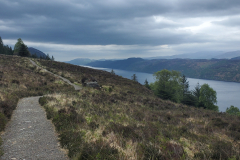
Next stop, after an ominously steep descent, was the village of Invermoriston. Not much to speak of but I did find a place to have a coffee. I didn’t hang around because I was hoping to get to Fort Augustus by the end of the day. Having had one mountain excursion already, I opted not to take the High Route out of Invermoriston. For whatever reason, the hiking gods decided otherwise. There might not have been any helpful signs to show the way but I think the fact that I appeared to be climbing a ridiculously steep zigzag path should have been a clue. Cue more swearing. A lot more swearing. That was hard work.
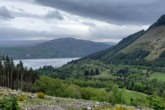
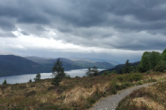
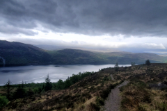
When I finally climbed out of the forest and the path started to flatten off, it was then that the hiking gods revealed their reason for sending me this way. The view was absolutely stunning. Breathtaking. I know it’s a word I have used before but I genuinely felt humbled to be witness to such a beautiful landscape. All my aches and my anger suddenly disappeared.
Got into Fort Augustus around 7pm. I’d rang Morag’s Lodge earlier and thankfully they had space in a 4 bed dorm. The place had a nice feel to it. Comfortable and well set-up with a bar and cooked food if you wanted it. As a courtesy to the other people in my room, my first job was to have a shower. I think I was too late to make the cut-off point for the haggis, neeps and tatties so I headed into town to see what was on offer there. Came away with a very large fish and chips and for once I struggled to finish it. I think tiredness trumped hunger. One beer in the bar and that was me done.
