Day 11. Drumnadrochit to Fort Augustus

Great Glen Way Day 2.
Distance today: 25 miles.
Total distance: 217.2 miles.
Accommodation: hostel.

One way or another, today turned out to be a fairly memorable day.

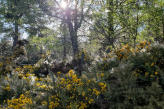
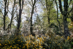
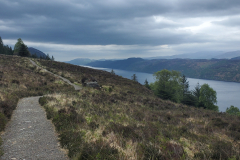
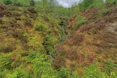
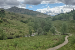
As someone who is not generally a morning person, I seem to have been converted on this trek. Hitting the road by 7.00 is particularly rewarding when the weather’s being kind. It’s not just a chance to notch up some early miles, it’s the light and the stillness. Today the mist was hovering just above the ground but the sun was slowing breaking through, back-lighting the dew-heavy cobwebs which clung to the gorse bushes. It was incredibly beautiful and it felt very humbling to be able to experience it.

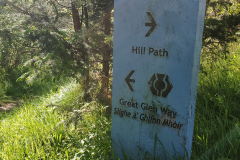
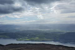
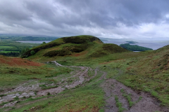
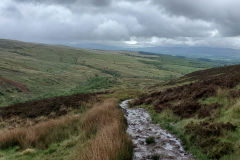
So far so good. At around 9.00 I saw a sign that indicated “Hill Path” one way and “Great Glen Way” the other. I knew from the map that there were sections before and after Invermoriston that allowed you to take either a low route or a high route. I assumed the Hill Path was the high route. I assumed wrong. It wasn’t long after I decided to follow it that I got a bit suspicious it wasn’t the right way. It seemed to be heading at 90 degrees to the loch rather than as the map suggested, angling slightly away from the loch to gain altitude. The fact that there were plenty of boot prints in the peaty mud was enough to convince me to carry on to see where it led. And when it did eventually start to run parallel with the loch, I thought it probably was the right way. Just a bad map. But I still wasn’t seeing any reassuring waymarkers and as the route continued to climb and climb, I decided it probably wasn’t the right way. At this point I figured I’d either have to retrace all my steps or carry on and hope there was onward trail. Let’s carry on then. Why not? What can go wrong? Underfoot the ground was really boggy and this together with the lack of waymarkers, the continual ascent, and anger at my own incompetence brought on some biblical swearing. I finally got to the point where I couldn’t go any higher. I had unwittingly scaled Meall Fuar-mhonaidh. “Follow the sign to Hill Path“. Indeed. It was just a hill but more frustratingly, now that I had worked out where I was on the map, I could confirm there was no onward trail. Oh dear, that’s a shame. Or words to that effect.

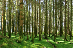
With the loch (and the rest of the 360 degree panorama) clearly visible I decided my best bet was to make a beeline for the loch and hope I’d bump into the proper trail along the way. The first obstacle was a stupidly steep slope. With the aid of my poles I very gingerly made my way down, thinking this was almost certainly going to end in tears. Balance is definitely trickier when you are carrying a full pack. Thankfully I made it down with just a couple of slips here and there. It probably hadn’t been the most sensible decision I’ve ever made. Next was some boggy flat land which I thought would be easier but I still nearly managed to inflict a trip-ending ankle injury when my pole got stuck as I was attempting to jump across a stream. I escaped with a bruised toe and a wet leg. Finally there was a fenced off forest with not a human-friendly gate in sight. At roughly 6 foot high I think the wire fence was designed to stop deer getting in (or out). I found one section which looked like it had been reinforced and I argued that maybe that was to allow people to climb over more easily. Strangely, the forest looked just as impenetrable once I was on the other side. The trees were equipped with those low-level branches which looked almost dead but were still effective at blocking your path. I tried looking for any open spaces or watercourses. Nothing. After a bit of trial and error, I found that the best tactic was to go backwards and just bulldoze my way through. Finally made it through to the other side and happily the trail was a couple of metres below. I’d probably only had to fight my way through 50 metres of forest but I didn’t know that at the time and the sight of a big open sky definitely came as a relief. My mini misadventure was over.

Next stop, after an ominously steep descent, was the village of Invermoriston. Not much to speak of but I did find a place to have a coffee. I didn’t hang around because I was hoping to get to Fort Augustus by the end of the day. Having had one mountain excursion already, I opted not to take the High Route out of Invermoriston. For whatever reason, the hiking gods decided otherwise. There might not have been any helpful signs to show the way but I think the fact that I appeared to be climbing a ridiculously steep zigzag path should have been a clue. Cue more swearing. A lot more swearing. That was hard work.

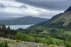
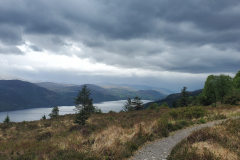
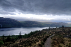
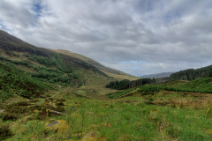
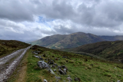
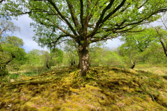
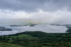
When I finally climbed out of the forest and the path started to flatten off, it was then that the hiking gods revealed their reason for sending me this way. The view was absolutely stunning. Breathtaking. I know it’s a word I have used before but I genuinely felt humbled to be witness to such a beautiful landscape. All my aches and my anger suddenly disappeared.

Got into Fort Augustus around 7pm. I’d rang Morag’s Lodge earlier and thankfully they had space in a 4 bed dorm. The place had a nice feel to it. Comfortable and well set-up with a bar and cooked food if you wanted it. As a courtesy to the other people in my room, my first job was to have a shower. I think I was too late to make the cut-off point for the haggis, neeps and tatties so I headed into town to see what was on offer there. Came away with a very large fish and chips and for once I struggled to finish it. I think tiredness trumped hunger. One beer in the bar and that was me done.
Day 12. Fort Augustus to Gairlochy

Great Glen Way Day 3.
Distance today: 24.5 miles.
Total distance: 241.7 miles.
Accommodation: wild camping.

Not too early a start but with windows closed and radiators on, I decided the dorm was way too warm to hang around once I’d woken up. Moved to one of the sofas in the communal area to relax a while before summoning up the energy to get on the move again. At some point on yesterday’s mountain misadventure I’d lost one of my water bladders. It was annoying but I found a temporary replacement after a visit to the local supermarket. The soon-to-be-empty bottle of Lucozade would do fine for now.

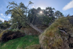
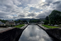
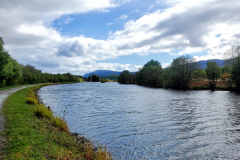
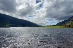
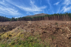
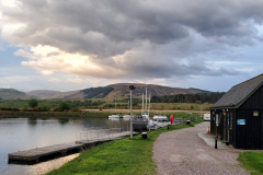
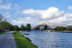
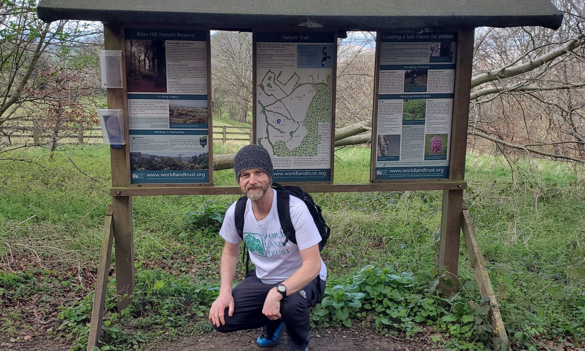
While I had briefly skirted past the Caledonian Canal when I was leaving Inverness, today we were destined to spend a lot more time together. And what do we like about canals or, more specifically, tow paths? Level ground. As canals go, it seemed quite wide to me. And that wasn’t even when it opened out into a loch. Not much in the way of narrowboat traffic. In fact there didn’t seem much boat traffic at all. Every so often, the trail would head up into forestry land where there was some industrial-scale harvesting going on. One JCB-like digger would drag the freshly cut tree up the slope where another machine swiftly removed the branches, cut it to size, and added it to the stockpile. I spoke to one of the guys working there and he said that some of the plantations were over 100 years old. He also reckoned that some of the big trees should have been culled about 50 years ago. That’s why you saw so many that had fallen over. They had grown too big for their shallow roots. I understood that the trees were a cash crop but it didn’t stop me feeling sad that the landscape looking so brutally scarred once swathes of trees had been cleared.

Looking on the map, I’d spotted there was a campsite near to Gairlochy and even though it meant another long day, I liked the idea of an easy run into Fort William tomorrow. As I got closer, I rang them up to make a booking only to be told they were just doing lodges now. Wild camping it is then. I did pass some so-called Trailblazer sites which were very basic campsites right by the side of the loch. The locations were lovely and I probably should have stopped at one of them but I decided to press on.

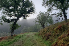
By the time I reached Gairlochy, I was running low on water but happily found some people chatting outside a house and they kindly did the honours. Took the opportunity to ask them if they knew anywhere I could wild camp and they suggested some flat ground near the Top Lock. It was just a couple of minutes around the corner and turned out to be a perfect spot which had obviously been used many times before. In fact, there was a couple setting up camp when I arrived.

Matt and Maria were a lovely couple. He was English and she was Dutch. Both classical singers, living in Holland. Matt had a very easy-going confidence, and for a while I was convinced he was someone famous, travelling incognito. But no. Not unless you were familiar with members of the Dutch radio choir. We chatted about our trips – they were just doing the Great Glen Way this time but had hopes of doing more. It was funny how we had clearly done very similar Internet research in preparation for our trips – ultralight forums, LDWA, and even Liam Brown’s Jogle video. One thing they did have in their possession was a magic key. By paying a small fee you could make use of this key to give you access to all the toilet/shower facilities along the Great Glen Way. Of course they didn’t let me use the key. Because that would have been wrong.

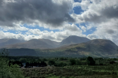
A slightly strange but tasty Blå Band beef with potato and bearnaise for tea and then bed, still wondering if any of those snow-capped mountains I had been seeing later in the day (and was getting closer to) was Ben Nevis.

Day 13. Gairlochy to Fort William (Glen Nevis campsite)

Great Glen Way Day 4.
Distance today: 16 miles.
Total distance: 257.7 miles.
Accommodation: campsite.

My ‘easy’ day. On the road by about 7, with Matt and Maria barely stirring in their tent. I think I was finally paying the toll for the accumulated miles. While the majority of my body parts were fine, my feet were suffering. The underfoot tenderness had returned. When I could have done with some distracting scenery, I was faced with seemingly endless canal-side track. The route would gently curve around and when you did get to any kind of corner, there was just more of the same on the other side. I guess on days like this, you just need to grind out the miles, taking it slow, and taking advantage of any bench to have a break.

Approaching Fort William, the first interesting landmark is the set of 8 locks called Neptune’s Staircase. That’s a lotta locks. The system definitely appears to be set up to cope with a fair amount of traffic. Everything just appeared to be super-sized. Wider, longer, maybe not faster. It was also strange to see yachts using them rather than narrowboats.

Just when you might be tempted to think you are nearly there, the route sends you on a loch-side detour. Pleasant enough but can’t we just get on with it? Finally I make it to the old fort and that’s the Great Glen Way done. Happy to have another section ticked off and even happier that I have given myself the day off tomorrow. I am a very weary man.
I had a wander around town which unsurprisingly had a reasonable number of outdoors shops even if they chose not to stock much dehydrated food. Managed to replace my lost water bladder at least. And, in breaking news, I can now report that I have worn through the first pair of rubber tips on my hiking poles. That’s just taken a couple of days of Cotswold Way and the Jogle up until here. Thought they might last a little bit longer but I do not resent a single penny spent on them. The poles have been a lifesaver.

At the far end of town I happened upon another Wetherspoons pub. As it was still only around midday, the place was packed with lunchtime diners. I stood near the door looking a bit dazed, trying to spot a space. Eventually I asked an old couple sat at a long-ish table if they were okay if I sat at the other end. And with a smile on her face, the woman said “Yes, as long as we can ask you some questions”. I laughed. “Of course. It’s a deal”. Clearly I had the bedraggled look of someone doing something interesting. I never did get their names but they were lovely. As I told them about my trip, they listened with a mixture of amazement and admiration. It was as if I was a favourite grandchild and they couldn’t help but be brimming with pride. They both used to do a lot of walking but admitted those days were behind them. Covid had not been kind, with the poor guy in a coma at one point. Before they left, the woman reached into her purse and pulled out 5 pound coins. “Put that towards the charity”. It was such a touching gesture and the whole encounter had genuinely made my day.

After a baked potato and a couple of cups of tea, it was time to find my campsite. I’d chosen the Glen Nevis campsite because I think someone had recommended it and I didn’t fancy a hostel again. Admittedly, it was a couple of miles out of town but at least they were genuine West Highland Way miles so I would already be getting a jump start on my next trail.

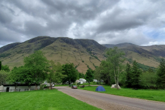
The place was big. This wasn’t a bijou campsite like Dunbeath but thankfully it wasn’t Grannie’s Heilan’ Hame either. There were plenty of facilities on site but it still felt like it was trying to be outdoorsy rather than a resort. The woman in reception told/warned me that although today may be relatively quiet, tomorrow they were expecting an extra 300 people. Apparently there was a world cup mountain biking competition taking place nearby. I pitched my tent near the top of the Ben View field where there were definitely views of some mountains. Still not sure which. You could certainly see the part of the route people took to get to Ben Nevis. One minor gripe: having to pitch the tent on a slope. This wasn’t a case of being the last one in and accepting that there were going to be a few spots there weren’t ideal. This was the whole field. In this day and age, etc. etc.

When the evening came round I went in such of food. The site had 2 main places where you could eat. The near option was a tastefully converted shipping container which served as a burger bar. Slightly further afield was a more traditional bar/restaurant. I wandered over to the restaurant to see what they had on offer and, lo and behold, Matt and Maria were there. It was great to catch up with them again and we had a good chat over dinner (mac and cheese in my case). If I remember rightly, Matt was going to be climbing Ben Nevis as part of a stag do!

Back to the tent, sharing the field with 2 others. I suspect that is going to change tomorrow.

Day 14. Day off

Accommodation: campsite.

A. Day. Off. It was a real bittersweet feeling being camped directly opposite Ben Nevis (wherever it is) because I had come to the difficult decision that I wasn’t going to climb it. When I’d been planning the trip I had read about a few people who incorporated the 3 peaks into their end-to-end challenge and there was no denying the extra kudos in that. But in my head, I knew that skipping the climb was the right thing to do. I’d hoped I might have gained sufficient match fitness by this point but my feet in particular were feeling a bit fragile and the jolting action of going all the way up and down again was not going to do them any favours. The last thing I wanted was to jeopardize the whole trip. Another time.

So now I was officially a lightweight, what to do on my day off? Laundry for starters. Bit by bit the mountain biking fans started arriving and filling up my field. I watched on with respect when a young kid – couldn’t be older than 10 – was doing impressive one hand wheelies on a bike that looked way too big for him. Even more impressive was his attempt to hustle older kids by challenging them to see who could do the longest one hand wheelie. In spite it being my day off, I went for a little bit of wander to see if I could find a better Nevis angle. It was still proving elusive.

Tonight was the turn of the burger container to get my business. Opted for a veggie burger which was decidedly average.

Pop quiz: What makes the following noise? Shhhhhhzt Slam. That dear friends, is the sound of a campervan closing its sliding door. There were 20 to 30 of them in the vicinity. Not much chance of getting an early night but to be fair, everything had quietened down by 11pm.

Day 15. Glen Nevis campsite to Kinlochleven

West Highland Way Day 1.
Distance today: 15.9 miles.
Total distance: 273.6 miles.
Accommodation: campsite.

The first day of the West Highland Way was marked by some miserable weather. Not raining heavily but definitely wet. I rejoined the official route a couple of hundred yards down from the campsite and from there on it was a continual climb for quite a way. It was my last chance to see Ben Nevis – or at least would have been were it not shrouded in mist. I still had pangs of guilt but consoled myself that the conditions would have been rubbish. As I plodded uphill with full pack and head-to-toe in wet weather gear, my morale was not improved by a succession of runners almost nonchalantly overtaking me and then disappearing into the distance.

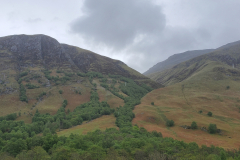
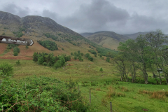
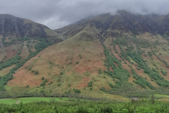
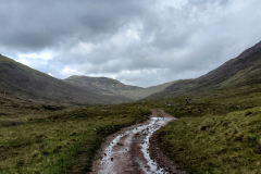
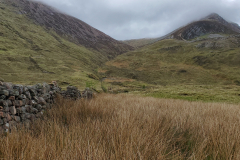
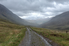
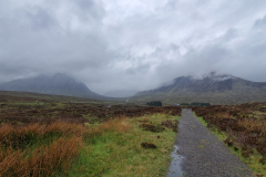
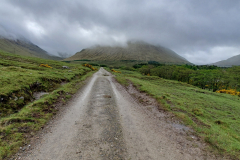
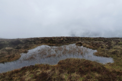
After the long ascent, strangely enough you then find yourself in a valley. Of sorts. The undulating track threads its way through a series of mountains rising on either side. While the weather was not exactly summer-like, the rain had relented sufficiently for me to be able to appreciate my surroundings. There is an eerie beauty to this bleak and desolate place. Not necessarily a place you would want to be sampling extreme conditions but certainly a dramatic backdrop if large ’empty’ spaces are your thing – as they are mine. I’m sure it’s one of the reasons why the trail attracts so many visitors.

For whatever reason, few people choose to hike the route north to south. Prevailing winds maybe. On the other hand, as I approached the halfway point, there started to be a steady flow of people coming in the opposite direction. Conversation usually extended to “hi” or a possible ‘thanks” if I had patiently waited while an obstacle was negotiated. I did bump into a couple of guys who were wild camping under a small strip of trees – possibly the only ones in the valley. We got chatting, with me inevitably telling them about my trip. As I left, one of them offered some lovely words of encouragement: “rather you than me”. Thanks for that.

After making a descent as steep as this morning’s ascent, I reached the town of Kinlochleven, my planned stopping place for the day. My attempts to find accommodation didn’t get off to a good start. I thought I’d try the newer Blackwater hostel/campsite up by the ice climbing centre but they were full. The guy on reception suggested a place (near the area I had walked before I reached town) where I could wild-camp if all else failed. He also gave me the number of MacDonald’s Hotel & Cabins but when I rang them, there was no joy there either. As it was roughly on the way to where I had to go for the wild camping spot, I thought I may as well go there in person just to see if there was anything they could do. Lo and behold, miracles do happen. An American group had previously paid for a tent pitch but no longer required it because they had decided to upgrade to a cabin. They told the hotel to give the pitch, pre-paid to the next person who needed it. And that was me. Happy days.

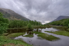
While the campsite didn’t appear to be much more than a bit of grass in front of the cabins, the compensation was undoubtedly its location, right next to Loch Leven, and with various mountains in the background. Also worthy of Trip Advisor brownie points were their showers. Proper heat and proper power which were particularly appreciated after a day largely spent in the wet. All in all, it was definitely worth a celebratory pint in the bar.

Day 16. Kinlochleven to Bridge of Orchy

West Highland Way Day 2.
Distance today: 23.4 miles.
Total distance: 297 miles.
Accommodation: hostel.

It was as if today had looked at yesterday and said “You call that a climb? You call that rain?”. Yes, this morning I was treated to a continuous uphill stretch for 5 miles whilst being bombarded by heavy rain, pummeled by a headwind, and disconnected from the rest of the world by a thick fog. A fine start to the day. To borrow the words of Maximus Decimus Meridius, “are you not entertained?”. No.

Part of the climb takes in the section known as the Devil’s Staircase. Basically it’s quite a steep track that zigzags its way up the mountain. All things considered, it wasn’t as hard as I expected. (maybe I do have some match fitness hidden away). Probably trickier was plotting a dry path through all the flooded areas. It was around this time that I had one of my more surreal moments of the trip. Here I was, doing my best impression of the intrepid explorer – albeit a grumpy one – battling the elements, waterproof clothing about to admit defeat, pushing forward regardless of personal cost, all in the selfless quest for Queen and country, etc. etc. Coming the other way meanwhile was a woman dressed in shorts and tee shirt, running as if she didn’t have a care in the world. A picture of serenity. How is that possible? There’s someone who’s match fit.

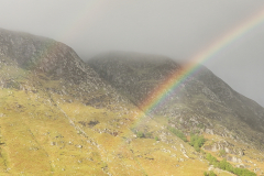
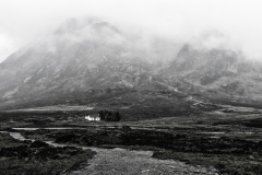
By the afternoon the weather had picked up with the rain limited to an occasional shower. The sky was still a bit waterlogged but visibility was good enough to appreciate the scale of all the mountains in the Glencoe area. More magisterial beauty. In a strange way the landscape reminded me of the Tengger caldera in Indonesia. Mountains instead of volcanos but with the same sense of walking across a big plateau surrounded by looming giants.

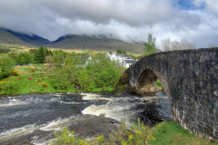
Arrived at the Bridge of Orchy at around 5.30. Once I’d taken the obligatory photo of the admittedly fine specimen of a bridge, I went in search of my accommodation. Not for me the luxury of the Bridge of Orchy Hotel at £221 a night but instead the slightly more humble West Highland Way Sleeper (at £35 for the night). As hostels go, the sleeper definitely gets points for its quirky location. Essentially they had re-purposed the old railway station, the bizarre thing being that trains still stopped there. Excellent transport links, as an estate agent might say. I don’t think I am being harsh if I said that the hostel could probably do with a bit of love. It was fine but just looked like nothing had changed or been fixed for a while. Charming but disorganized. To be fair, I think the woman who ran the place had not so long ago lost her husband. What it did have, just outside the dorm, was one of those springy Ikea armchairs. I cant tell you how comfortable that felt after a long day’s walk.

I might not be staying at the Bridge of Orchy Hotel but I was happy to make use of their bar. As well as having a pint, I finally got to tick haggis, neeps, and tatties off my list. And very tasty it was too.

Day 17. Bridge of Orchy to Inverarnan

West Highland Way Day 3.
Distance today: 20.2 miles.
Total distance: 317.2 miles.
Accommodation: campsite.

Today felt like a nice breather, a respite from the smorgasbord of steep, rocky, and wet trails I had experienced over the last 2 days. More of a gentle 20 mile ramble than an arduous hike. As ever, what helps the miles pass by more easily is a regular change in scenery. Maybe not the drama of Glencoe but a lovely mix of magical woodland and misty mountains. Even the weather was cooperating by threatening but never actually getting round to raining.

At around 11 o’ clock I arrived at Tyndrum and paid a visit to the Green Welly Stop. “Whisky, Wellies, Gifts and so much more”. It felt a bit like a glorified garden centre with its fair share of tat but it did have a restaurant. Cooked breakfasts seemed popular not to say tempting – 5 items for £9.50 or 7 items for £10.50 – but I just opted for a coffee and a granola slice because I am very worthy. As I was about to leave, an old couple set down at my table and wanted to know what I was doing and where I was going. After explaining the details of my trip, they very kindly handed over 2 fivers for the cause. In the loveliest way, it felt very much like I could have been raising money for anything because ultimately they were investing in me and therefore whatever I thought was important enough to make me do this challenge was fine with them. So a big thanks to Anne (with an e) and Brian.

My stopping place for the night was the Beinglas campsite. Conveniently just off the track, if not on it, it was nestled in a pretty valley location with open views of the surrounding hills. They were definitely well set up to deal with hordes of campers and campervans, though perhaps not on the scale of Glen Nevis. As well as a shop with the biggest display of Compeed plasters I have ever seen, more importantly, they had an on-site pub called … wait for it … the Stagger Inn which also served food. An amenity I was happy to take advantage of once I’d pitched my tent and had a shower. It was probably just my lazy Sassanach hearing, but there was something slightly disconcerting about the harsh Scottish accents of the bar staff. It really sounded like I should be in a grimy Glasgow pub rather than the beautiful countryside. It genuinely felt like everything they said was an accusation. As I say, strange. Still, the pint and the lasagna were much appreciated.

Day 18. Inverarnan to Cashel

West Highland Way Day 4.
Distance today: 20.2 miles.
Total distance: 337.4 miles.
Accommodation: campsite.

Today was a tough day.

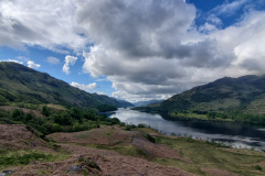
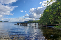
It all starts well enough with a relatively easy uphill hike to reach the first viewpoint of Loch Lomond. And what a viewpoint. Looking down the length of the loch, it is picture perfect. Loch meandering through the middle, hills on either side, big sky above. Stunning.

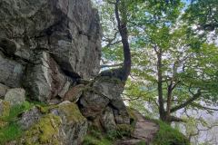
If you zoomed in on the altitude profile for the next section, it looks relatively flat because for most of the time you are skirting the edge of Loch Lomond. What this doesn’t tell you is that the path has to thread its way through very rocky terrain requiring you to negotiate either steep steps or big boulders. After a while this becomes pretty monotonous, particularly when you are surrounded by woodland and there’s not much to see. Apart from trees and rocks. To add insult to injury/aches/tiredness, as with the Great Glen Way, there were times when the waymarkers let you down. There was meant to be a point where you could choose either a high route or a low route. A couple I’d met earlier had warned me not to take the low route but even though I saw signs possibly indicating a high route, it was never 100% clear. The last thing I wanted was another mountain misadventure and so I inevitably ended up doing the more tricky low route.

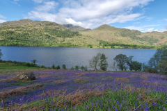
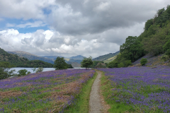
When you did break out into the open there was another treat waiting: the hills and pasture lands were covered in bluebells. A beautiful purple carpet everywhere you looked. It’s hard to stay frustrated by the trail when you get moments like this.

At one point, I passed my first bothy of the whole trip. Strange to think how that is the case given that I have now walked more than 300 miles. It was a simple stone building which was very bare bones inside – nothing more than a fireplace at one end and a few raised platforms on which to lay your sleeping bag. I’d met someone who’d stayed there, recounting how it had been absolutely hammering down when she arrived and some of the occupants – let’s call them Americans – were keen to point out that there was no more room. Happily, they were overruled. As they were when a few more people arrived later. It reminded me of the maxim that applied to almost all transport I’d been on in developing countries: the bus is never full.

The route passed by Inversnaid Hotel which seemed to be doing a good trade in snacks judging by the number of walkers sat at the outside tables. To go inside the hotel, people were requested to first remove muddy boots. For whatever reason – most likely tiredness – I decided I couldn’t be bothered and continued on my way. In hindsight, this was probably a mistake. I think my body needed refueling. It took until much later in the afternoon before I found somewhere else to get food. Hats off to the enterprising owners of Ben Lomond Cottage who had provided a trail pitstop in the form of an unmanned mini-shop offering snacks and drinks. The two cheese rolls went down very well. God, I was hungry.

If you wanted to do the West Highland Way in 5 days then ideally you were meant to reach Balmaha by the end of the 4th day. I didn’t quite make it. I decided that Milarrochy Bay Camping and Caravanning would be far enough but I didn’t quite make it there either. At around 6.30 I arrived at Cashel Campsite and initially just assumed it was Milarrochy. By the time I had realized my mistake, I was too knackered to care. The campsite was pretty basic but it would do. I was done for the day.

Soon after I’d pitched my tent, another walker arrived and pitched in the same area. We got chatting and it turned out he was doing LEJOG! Finally, someone else doing something similar. I really had expected to bump into more people doing the challenge. Tom was a really cool young guy. Very laid back, doing the walk for himself. No charity, no posting on social media, just him and the trail. I think he was working with a tighter budget than I was and had managed to wild camp most of the way. His advice for finding a place when walking on a coastal path was to look for some woodland a kilometre or two inland. That way you were much less likely to be disturbed. Food-wise he reckoned he mainly lived off oats (soaked in water for 10 minutes) mixed with dried fruit and a bit of syrup. His treat was having an occasional beer. I was curious about how many days off he’d had while walking. None. Damn, I’m such a slacker. I could totally understand the logic. You do get this sense of momentum where walking just becomes the thing you do. To not do it then feels strange, almost tempting fate that your body will somehow cease up. It will be a minor miracle if my body doesn’t cease up, days off or not.

Day 19. Cashel to Bearsden

West Highland Way Day 5.
Distance today: 25.3 miles.
Total distance: 362.7 miles.
Accommodation: AirBnB.

After the relatively easy walk to Balmaha, the first main challenge of the day was climbing Conic Hill. Most of the time I never really considered whether it was easier to do the end-to-end walk north to south or south to north but this was one occasion where the Lejogers definitely had the advantage of a more gentle slope. After lots of steps and fair bit of mud, the hill was finally conquered. Although technically, I didn’t go to the very top. The trail passed nearby and while typically the completist in me would have made the effort to do the last couple of hundred yards to the summit, today the miserable weather and the desire to conserve energy (aka laziness) convinced me otherwise.

Once the hill was out of the way, the rest of the day was mostly a fairly gentle stroll along country paths and lanes. It was still a long day and by mid-afternoon I took advantage of another handily located pitstop, the wonderfully named Turnip The Beet deli. There were a variety of world food combinations on offer and after a fair amount of dithering, I opted for the carb-heavy onion bhaji wrap with hummus. That and a flat white were just perfect. It was interesting how important these little treats were becoming. As with the amazing views, they were all part of my unofficial incentive program. Walk some miles, get a reward.

The West Highland Way was definitely more well-travelled than the previous 2 trails and it was easy to see why. The variety and quality of the surrounding landscape was amazing. Over a hundred odd miles there were bound to be the occasional dull patch but, to my eyes, surprisingly few. What made me smile was the variety of people attempting the trail. All ages and abilities with equally varied clothing choices. I assumed that some people were just doing bite-size pieces because if not, they had some awkward sections that they probably weren’t prepared for.

The final stage of the track takes you through a couple of country parks on the outskirts of Milngavie. It was here I bumped into a retired teacher called Robin. Was I starting or finishing, he asked. We had a good chat about the trail and before he rode off on his bike, he generously gave me a tenner for the cause. I love the fact that all these random donations end up being worth double.

And that was another trail done. After taking the obligatory photos at the finish line, it was time to find my accommodation. I’d opted for an Airbnb in Bearsden because there didn’t seem to be any campsites around and I wasn’t sure what opportunities there would be to wild camp given the urban environment. It was a bit of a schlep over to Bearden but the place was nice and there was a bonus of a bath with Epsom salts. Now that is proper luxury. I had thought about going out for a mini celebration but in the end I just had a quiet night in. I have got work tomorrow.
Day 20. Bearsden to Uddingston

Kelvin & Clyde Walkway.
Distance today: 27.8 miles.
Total distance: 390.5 miles.
Accommodation: with friends.

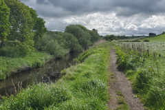
Made the most of my ‘free’ breakfast before heading out. It didn’t take long for me to rediscover my lack of map reading skills, successfully adding another mile or so to the route back to Milngavie. My incompetence continued when I reached the start of the Kelvin Walkway and I struggled to find where to go next. Waymarkers were unhelpfully absent. Luckily I was rescued by someone who happened to be passing by and who then pointed me in the right direction. Once you got out of town, it was then just a case of following the river and so not that complicated. Even for me.
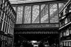
After a few miles of walking along an overgrown path, my feet were sodden but I’d made it to the outskirts of Glasgow. My first big city. No disrespect to Inverness. In fact Glasgow was likely to be the biggest city I passed through on this trip and there was no doubt (in my head at least) it came with a reputation. I’d done a lot of backpacking overseas and I always had a slight nervousness when the place where I first entered a city was not exactly Tourist Central. Moscow springs to mind. The basic question was: am I going to get mugged? And the answer was generally: probably not. Did the fact that I was so obviously not local make me more of a mugging candidate or was that trumped by the fact that I was a scruffy backpacker and therefore unlikely to have anything worth stealing? Certainly when I was travelling abroad, I always felt people knew that I was carrying everything I needed for a long trip and therefore there had to be something worth stealing. All this is a longwinded way of saying that the route seemed to take you through some fairly dodgy areas before you finally reached the municipal parks in the centre.

Another first for the trip – I was staying with friends tonight. Clare, Merghani, and my namesake wee Adam. That was the good news. The bad news was that I had completely underestimated how far it was from Bearsden to where they lived in Uddingston. I made the executive decision not to spend much time in Glasgow (I had planned on hunting down some more dehydrated meals) and also not to join the Clyde Walkway at the very start but at the nearest point to me. Clearly my completist principles were wavering.

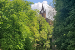
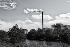
I’ll be honest, the section of the Clyde Walkway from central Glasgow to Uddingston is not the prettiest trail I have been on. Credit to the city planners from whatever era for having a park running along the river for quite a stretch but this was a view from a distance, safely behind iron railings. Slightly further along we were back in mugging territory. Further still and we were in countryside-about-to-be-taken-over-by-housing-development territory. Meanwhile, with a distinct lack of waymarkers, the track would occasionally head for the hills before meandering back to the river. My normal 2 mile an hour plod had increased to 3 miles an hour as I tried to reach my destination at a respectable time. I was late, I was tired, and was starting to get very irritated by the whole experience. The final insult was me getting completely lost as I tried to find my way around Uddingston. Add another mile to the kitty.

“Hey, you made it”.

Do not underestimate the therapeutic effects of a bath and a good meal. Even still, I’m not sure I was the best company – in spite of my repertoire of trip stats and anecdotes. Bed was calling.